Impacts of land use change on the hydrological cycle
Using the SWAT model
Versandkostenfrei!
Versandfertig in 6-10 Tagen
27,99 €
inkl. MwSt.

PAYBACK Punkte
14 °P sammeln!
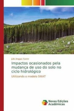
River basin modelling has become increasingly important, as it makes it possible to simulate runoff, the evolution of water availability and quality, and to have a hydrological view of the area to be studied. The aim of this work is to apply the SWAT model, evaluate changes in land use and the water balance. The data used was MNT (Numerical Terrain Model), soil, land use and climate data. Once all this information was available, the SWAT model made it possible to obtain the percentage of water, anthropised areas and native vegetation in the two years of study, 1984 and 2011, in the Igarapé do...
River basin modelling has become increasingly important, as it makes it possible to simulate runoff, the evolution of water availability and quality, and to have a hydrological view of the area to be studied. The aim of this work is to apply the SWAT model, evaluate changes in land use and the water balance. The data used was MNT (Numerical Terrain Model), soil, land use and climate data. Once all this information was available, the SWAT model made it possible to obtain the percentage of water, anthropised areas and native vegetation in the two years of study, 1984 and 2011, in the Igarapé do Quarenta catchment area. Supervised classification was also carried out, where the distinction between the three different types of areas is visible.


