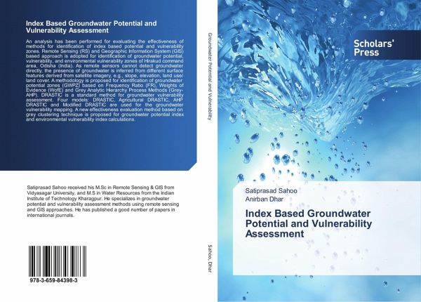
Index Based Groundwater Potential and Vulnerability Assessment
Versandkostenfrei!
Versandfertig in 6-10 Tagen
53,99 €
inkl. MwSt.

PAYBACK Punkte
27 °P sammeln!
An analysis has been performed for evaluating the effectiveness of methods for identification of index based potential and vulnerability zones. Remote Sensing (RS) and Geographic Information System (GIS) based approach is adopted for identification of groundwater potential, vulnerability, and environmental vulnerability zones of Hirakud command area, Odisha (India). As remote sensors cannot detect groundwater directly, the presence of groundwater is inferred from different surface features derived from satellite imagery, e.g., slope, elevation, land use/ land cover. A methodology is proposed f...
An analysis has been performed for evaluating the effectiveness of methods for identification of index based potential and vulnerability zones. Remote Sensing (RS) and Geographic Information System (GIS) based approach is adopted for identification of groundwater potential, vulnerability, and environmental vulnerability zones of Hirakud command area, Odisha (India). As remote sensors cannot detect groundwater directly, the presence of groundwater is inferred from different surface features derived from satellite imagery, e.g., slope, elevation, land use/ land cover. A methodology is proposed for identification of groundwater potential zones (GWPZ) based on Frequency Ratio (FR), Weights of Evidence (WofE) and Grey Analytic Hierarchy Process Methods (Grey-AHP). DRASTIC is a standard method for groundwater vulnerability assessment. Four models: DRASTIC, Agricultural DRASTIC, AHP DRASTIC and Modified DRASTIC are used for the groundwater vulnerability mapping. A new effectiveness evaluation method based on grey clustering technique is proposed for groundwater potential index and environmental vulnerability index calculations.


