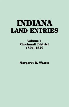
Prior to the original appearance of this work in 1948, the land records for Indiana had never been published, copied, or indexed by name, and unless you knew the exact location of the land on which your ancestors settled, the records were impossible to use. So in 1948 professional genealogist Margaret R. Waters copied and published the records to enable researchers to determine if an ancestor did locate in Indiana, and if so, where and when. The records copied here, including records of purchases made by "squatters" in accordance with the various pre-emption acts, give the names of about 10,000 purchasers of land in the Cincinnati District as well as the specific location of their land and the date of the record. Following the method adopted by the rectangular survey system, most descriptions of land are given as ranges east or west of Indiana's second principal meridian, while townships are identified as being north or south of the established base line.
Hinweis: Dieser Artikel kann nur an eine deutsche Lieferadresse ausgeliefert werden.
Hinweis: Dieser Artikel kann nur an eine deutsche Lieferadresse ausgeliefert werden.

