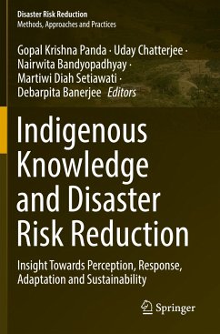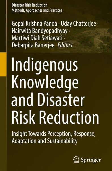
Indigenous Knowledge and Disaster Risk Reduction
Insight Towards Perception, Response, Adaptation and Sustainability
Herausgegeben: Panda, Gopal Krishna; Chatterjee, Uday; Bandyopadhyay, Nairwita; Setiawati, Martiwi Diah; Banerjee, Debarpita

PAYBACK Punkte
57 °P sammeln!
The book seeks to comprehend how indigenous knowledge systems of local communities can be effectively used in disaster management of various types. A prime example is the 2015 Sendai Framework for Disaster Risk Reduction, promoting indigenous environmental management knowledge and practices. Traditional knowledge of indigenous peoples includes information and insight that supplement conventional science and environmental observations, a comprehensive understanding of the environment, natural resources, culture, and human interactions with them which is not documented before. A great deal of th...
The book seeks to comprehend how indigenous knowledge systems of local communities can be effectively used in disaster management of various types. A prime example is the 2015 Sendai Framework for Disaster Risk Reduction, promoting indigenous environmental management knowledge and practices. Traditional knowledge of indigenous peoples includes information and insight that supplement conventional science and environmental observations, a comprehensive understanding of the environment, natural resources, culture, and human interactions with them which is not documented before. A great deal of this knowledge have been lost in translation. In this book, the authors attempt to keep a record of each and every traditional knowledge study of the indigenous communities in managing the disasters.
The use of indigenous knowledge systems in disaster understanding and management is the primary focus of the chapters.
This book is organized into four major sections. Thefirstpart gives an overview and help in conceptualizing the different concepts of hazard and disaster perception and how response and adaptation are connected with it. This part also discusses the concept of the connection between hazard and sustainable development and how the understanding of risk reduction and resilience can happen with the help of indigenous knowledge, insights, and strategies.
The second part of the book introduces the different approaches to disaster and risk management. It establishes how vulnerability influences the risk associated with a hazard and the responses can be both positive and negative in disaster management. The approaches of the indigenous communities in managing a disaster, their resilience, capacity building, and community-based preparedness will be the area of prime focus in this chapter.
Part 3 of this book describes the concept of sustainability through indigenous knowledge and practice. The sole highlight of this chapter is the indigenous knowledge efficacies in disaster identification, risk reduction, climate risk management, and climate action.
The last section of the book explores how to meet the gaps between local knowledge and policy formulation. It highlights how traditional knowledge of the indigenous communities can prove to be beneficial in developing a holistic regional-based policy framework which will be easily accepted by the target stakeholders since they will be more acquainted with the local strategies and methods. This section ends with an assessment and discussion of the gaps and future scopes in disaster risk reduction through integrating local knowledge and modern technologies.


