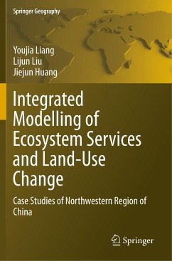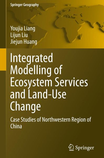
Integrated Modelling of Ecosystem Services and Land-Use Change
Case Studies of Northwestern Region of China
Versandkostenfrei!
Versandfertig in 6-10 Tagen
76,99 €
inkl. MwSt.
Weitere Ausgaben:

PAYBACK Punkte
38 °P sammeln!
This book presents essential case studies on the integrated modelling of ecosystem services and land-use change in the field of landscape ecology. The case studies were mainly conducted in the Zhangye oasis of the Hexi corridor and the upper reaches of the Heihe river basin, including Loess plateau (for wind power) and the inland waterways of the Yangtze River (for the regulation of extreme events).The book puts forward an integrated modelling method, including human activities, natural processes, land-use change, and ecosystem management, and explores multiple scenarios based on the interests...
This book presents essential case studies on the integrated modelling of ecosystem services and land-use change in the field of landscape ecology. The case studies were mainly conducted in the Zhangye oasis of the Hexi corridor and the upper reaches of the Heihe river basin, including Loess plateau (for wind power) and the inland waterways of the Yangtze River (for the regulation of extreme events).
The book puts forward an integrated modelling method, including human activities, natural processes, land-use change, and ecosystem management, and explores multiple scenarios based on the interests of local managers and their implications for ecosystem services. As the book demonstrates, the integrated modelling method for ecosystem services and land-use change can serve as a valuable tool for gauging the impact of various development scenarios in this study area, and in other regions with similar characteristics. In addition, numerous charts and diagrams are included in each chapter, facilitating the simulation and assessment of specific land-use change impacts on ecosystem services in various study areas.
The book puts forward an integrated modelling method, including human activities, natural processes, land-use change, and ecosystem management, and explores multiple scenarios based on the interests of local managers and their implications for ecosystem services. As the book demonstrates, the integrated modelling method for ecosystem services and land-use change can serve as a valuable tool for gauging the impact of various development scenarios in this study area, and in other regions with similar characteristics. In addition, numerous charts and diagrams are included in each chapter, facilitating the simulation and assessment of specific land-use change impacts on ecosystem services in various study areas.


