Integrated monitoring of geodynamic processes of the Earth's surface
on the example of the Zhezkazgan deposit
Versandkostenfrei!
Versandfertig in 6-10 Tagen
43,99 €
inkl. MwSt.

PAYBACK Punkte
22 °P sammeln!
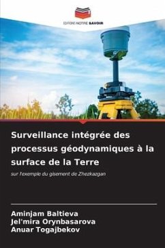
The monograph is devoted to a comprehensive study of geodynamic processes of the Earth surface by satellite methods (GNSS observations, satellite interferometry), including: analysis of mining and geological and mining engineering conditions of field development and previously performed instrumental observations (high-precision leveling, seismic monitoring). The algorithms of GNSS observations and space images processing by satellite radar interferometry methods are presented. Verification of satellite interferometry results with instrumental observations is performed. The present work combine...
The monograph is devoted to a comprehensive study of geodynamic processes of the Earth surface by satellite methods (GNSS observations, satellite interferometry), including: analysis of mining and geological and mining engineering conditions of field development and previously performed instrumental observations (high-precision leveling, seismic monitoring). The algorithms of GNSS observations and space images processing by satellite radar interferometry methods are presented. Verification of satellite interferometry results with instrumental observations is performed. The present work combines data from different sources and helps to achieve a more complete understanding of the nature of deformation and subsidence in the field.


