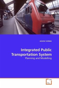
This book presents a sequential modelling approach for an integrated urban public transport planning. The methodology consists of three models viz. rail transit corridor identification, feeder route generation, and integrated scheduling models. The 1st model was developed to identify the new urban rail transit corridor using GIS, which is optimum from both users' and operators point of view. In the model for feeder route generation, the feeder routes are generated in two levels, the first level generates the initial set of shortest paths and in the second level, search is made around these corridors to select one route combination out of all possible routing configurations. The integrated scheduling model consists of two sub-models; the train scheduling sub-model which was used to obtain optimal frequencies for train operation on the newly identified corridors, and the schedule co-ordination sub-model to co-ordinate the schedules of feeder bus routes of each station with the train schedules. The testing of the proposed methodology is done on the case study area of Thane City, which is a part of Mumbai Metropolitan Region (MMR), India.
Bitte wählen Sie Ihr Anliegen aus.
Rechnungen
Retourenschein anfordern
Bestellstatus
Storno

