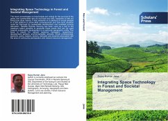
The book concentrates on how forests are critical for the survival of the grass root communities who do not have any skill / expertise to eke out living from other means. It also embarks on a plethora of social analyse in a GIS platform to show what consequences and how such situation could be improved for sustainable development and localized poverty alleviation. Satellite Remote Sensing has been used as a tool to the maximum extent possible to generate these inputs that can be used towards sustainable development in a particular geographic entity. The book is meant for natural resource managers, researchers, development workers, environmentalist, activists, forest professionals, planners, policy makers, donors, lobbyists and students associated with the area of community participation and natural resource management.
Bitte wählen Sie Ihr Anliegen aus.
Rechnungen
Retourenschein anfordern
Bestellstatus
Storno

