Interactive habitat dynamics
The case of the commune of Lingwala
Versandkostenfrei!
Versandfertig in 6-10 Tagen
29,99 €
inkl. MwSt.

PAYBACK Punkte
15 °P sammeln!
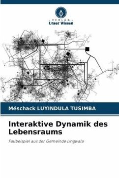
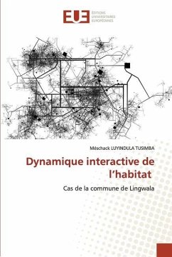
This study proposes to describe and analyze the interactive dynamics of the problemof the habitat and the spatial planning due to the lack of accompaniment and participation of the state which is the first actor in this sector, bad application of a cadastral plan, to the clandestine parcelling, to the land imbalance and the various land conflicts, non application of a master plan of urbanism and particular plan of development at the level of the district, buildings side by side, violation of intimacy, problem of natural ventilation and the right-of-way, spatial balance and stability, problem o...
This study proposes to describe and analyze the interactive dynamics of the problemof the habitat and the spatial planning due to the lack of accompaniment and participation of the state which is the first actor in this sector, bad application of a cadastral plan, to the clandestine parcelling, to the land imbalance and the various land conflicts, non application of a master plan of urbanism and particular plan of development at the level of the district, buildings side by side, violation of intimacy, problem of natural ventilation and the right-of-way, spatial balance and stability, problem of right-of-way of occupation of the ground, collapse and settlement, has an architecture and technical dimensioning non-participatory in the neighborhood unit, lack of an urban plan in our study area and in the whole of the commune of Lingwala, which is given in the radius of the alters of the structuring axis of the avenue of liberation and point out the effects, constraints and danger can we record the future years by lack of foresight and feasibility of the authorities in the sectors of urban planning, cadastre, infrastructure, environment and interior.


