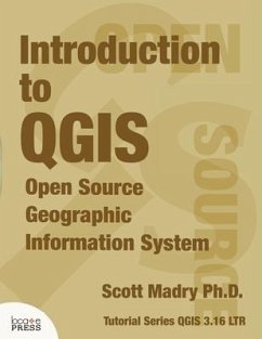
Get started with QGIS with this introduction covering everything needed to get you going. This tutorial, based on the 3.16 LTR version, introduces you to major concepts and techniques to get you started with viewing data, analysis, and creating maps and reports. With this book you'll learn about: * The QGIS interface * Creating, editing, and analyzing vector data * Working with raster (image) data * Using plugins * The QGIS Processing Toolbox * Georeferencing * Creating map and reports * Resources for further help and study The book includes a link to all the data you'll need to follow along with each chapter.
Bitte wählen Sie Ihr Anliegen aus.
Rechnungen
Retourenschein anfordern
Bestellstatus
Storno

