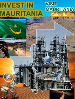
A vast country of one million thirty thousand km² (1,030,700), Mauritania is populated by nearly four million inhabitants. The country has significant natural resources: iron ore, gold and copper, oil and gas, as well as one of the most fish-rich coasts in the world. It is irrigated to the south by the Senegal River. Extensive livestock farming and irrigated and rain-fed crops are the traditional activities of the population in rural areas. Favorable since 2009, the trajectory of the Mauritanian macroeconomic framework is underpinned by a national strategy for accelerated growth and shared prosperity (SCAPP 2016-2030). This ambitious program aims to promote strong, sustainable and inclusive growth; develop human capital and access to basic social services; strengthen governance in all its dimensions. In the short term, the most promising sectors remain those of mining and hydrocarbons and their subcontracting. In the medium/long term, it is those of fishing, energy, services, agriculture and livestock, and NICTs that are important issues. Like so many vectors of diversification. Located in the Sahelo-Saharan space, Mauritania fully belongs to this pivotal zone between the Arab Maghreb and West Africa. It is bordered to the north by Western Sahara claimed by Morocco, to the northeast by Algeria, to the east by Mali and to the southeast and south by Senegal. ¿ To the south, the alluvial plain of the Senegal River, called Chemama or Walo depending on the region, is made up of black soil rich in mineral salts favorable to agriculture. It is here that the breadbasket of Mauritania is located. In the past, traditional cereals such as millet and sorghum were the main crops in the area. The construction of dams - Diama at the mouth to block salinization by the Atlantic Ocean and Manantali towards the source to regulate the supply of the river - has made it possible to develop commercial agriculture and diversify production to meet the demand of local and international.
Hinweis: Dieser Artikel kann nur an eine deutsche Lieferadresse ausgeliefert werden.
Hinweis: Dieser Artikel kann nur an eine deutsche Lieferadresse ausgeliefert werden.

