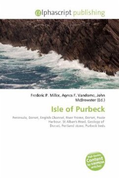
Please note that the content of this book primarily consists of articles available from Wikipedia or other free sources online. The Isle of Purbeck, not a true island but a peninsula, is in the county of Dorset, England. It is bordered by the English Channel to the south and east, where steep cliffs fall to the sea; and by the marshy lands of the River Frome and Poole Harbour to the north. Its western boundary is less well defined, with some medieval sources placing it at Flowers Barrow above Worbarrow Bay. The most southerly point is St Aldhelm''s or St Alban''s Head. It is suffering erosion problems along the coast. The whole of the Isle of Purbeck lies within the local government district of Purbeck, which is named after it. However the district extends significantly further north and west than the traditional boundary of the Isle of Purbeck along the River Frome.
Bitte wählen Sie Ihr Anliegen aus.
Rechnungen
Retourenschein anfordern
Bestellstatus
Storno


