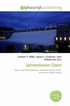
High Quality Content by WIKIPEDIA articles! The Jamestown Dam is a rolled-earth dam spanning the James River in Stutsman County in the U.S. state of North Dakota, serving the primary purpose of flood control. It is located north of the city of Jamestown, North Dakota. Built from April 1952 to September 1953, the dam measures 1,418 feet long at the crest and 85 feet high. Its impoundment, the Jamestown Reservoir, covers 2,095 acres. A small islet lies shortly upstream of the dam, where the James River previously split into two channels. The dam and reservoir rest on a wide plain of shale where the James River has cut a canyon up to 1-mile wide and 100 feet deep. This bedrock is called Pierre Shale, and has a dark gray, bedded appearance, comprised mostly of claystone or siltstone. The valley also contains many traces of alluvium, mainly deposited during the last ice age when the area was heavily glaciated.
Bitte wählen Sie Ihr Anliegen aus.
Rechnungen
Retourenschein anfordern
Bestellstatus
Storno


