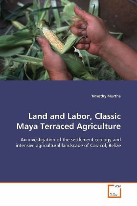
Land and Labor, Classic Maya Terraced Agriculture
An investigation of the settlement ecology and intensive agricultural landscape of Caracol, Belize
Versandkostenfrei!
Versandfertig in 6-10 Tagen
52,99 €
inkl. MwSt.

PAYBACK Punkte
26 °P sammeln!
This study details the results of survey andexcavation of settlement and intensive agriculturalterracing at the site of Caracol, Belize. Caracol,situated in the heart of the Maya lowlands in westernBelize was one of the largest and most politicallyactive cities in the Ancient Maya world. A greaterthan 400 year political history is recorded in theancient monuments, detailing wars, conflict, and thebirths and deaths of rulers. Guided by this history,this study investigates the intensive agriculturallandscape of Caracol in an effort to betterunderstand the temporal and spatial dynamics ofpopulati...
This study details the results of survey and
excavation of settlement and intensive agricultural
terracing at the site of Caracol, Belize. Caracol,
situated in the heart of the Maya lowlands in western
Belize was one of the largest and most politically
active cities in the Ancient Maya world. A greater
than 400 year political history is recorded in the
ancient monuments, detailing wars, conflict, and the
births and deaths of rulers. Guided by this history,
this study investigates the intensive agricultural
landscape of Caracol in an effort to better
understand the temporal and spatial dynamics of
population pressure and intensive agriculture
throughout the classic period (AD 250 - 750). By
relying on traditional archaeological survey and
excavation, Geographic Information Systems and
computer simulation, the study also evaluates the
role of massive landscape transformations in the
growth and eventual collapse of Caracol.


