44,99 €
inkl. MwSt.
Versandkostenfrei*
Versandfertig in 6-10 Tagen
payback
22 °P sammeln
  • Broschiertes Buch

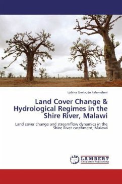
Land cover mapping forms a reference base for resource managersin their decision making processes to guide rural/urban growth and management of natural resources.The use of remote sensing technologies was motivated by lack of automated data products in a developing country such as Malawi.Research on effects of land cover change on streamflow highlights the importance of proper land use planning and catchment management. This book proposes exploration of different catchment management options which conserve the water resource base while upgrading the socio-economic status of the population.

Produktbeschreibung
Land cover mapping forms a reference base for resource managersin their decision making processes to guide rural/urban growth and management of natural resources.The use of remote sensing technologies was motivated by lack of automated data products in a developing country such as Malawi.Research on effects of land cover change on streamflow highlights the importance of proper land use planning and catchment management. This book proposes exploration of different catchment management options which conserve the water resource base while upgrading the socio-economic status of the population.
Autorenporträt
Lobina Gertrude Palamuleni holds an MSc. Environmental Science degree from University of Malawi and a Phd in Geography from University of Johannesburg. She has taught geographical sciences,GIS and applications of remote sensing at University of Malawi and is currently teaching at North West University Mafikeng Campus, South Africa.