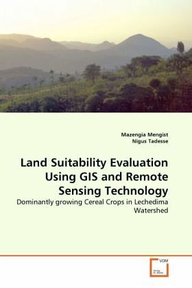
Land Suitability Evaluation Using GIS and Remote Sensing Technology
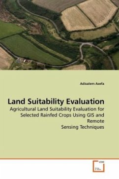
Dominantly growing Cereal Crops in Lechedima Watershed
Versandkostenfrei!
Versandfertig in 6-10 Tagen
32,99 €
inkl. MwSt.

PAYBACK Punkte
16 °P sammeln!
In Ethiopian about 85% of the population has been supported by agricultural economy. However, crop production is becoming a risky business in the country in general and in the study area in particular. This study deals with land suitability evaluation of Lenche Dima Watershed by using maximum limitation system for the selected major rainfed cereal crops. Land mapping units were produced by overlaying LULC, soil, elevation and slope maps as well as climatic databases by using ArcInfo GIS 9.2 version; and suitability maps (S1, S2, S3 and N) for dominantly growing crops have been generated by mat...
In Ethiopian about 85% of the population has been supported by agricultural economy. However, crop production is becoming a risky business in the country in general and in the study area in particular. This study deals with land suitability evaluation of Lenche Dima Watershed by using maximum limitation system for the selected major rainfed cereal crops. Land mapping units were produced by overlaying LULC, soil, elevation and slope maps as well as climatic databases by using ArcInfo GIS 9.2 version; and suitability maps (S1, S2, S3 and N) for dominantly growing crops have been generated by matching the biophysical characteristics with crop requirements. Hence, the main challenging impediments with respect to land use planning and land resource management for sustainable use of the resources are clearly identified in this work. Therefore, the analysis is mainly essential for land use planners, natural resource managers, government officials and research institutions as well as forlocal farmers to achieve sustainable agriculture.


