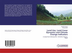
Land Use, Land Cover Dynamics and Climate Change Indicators
A study from Ambung VDC, Tehrathum District, Nepal
Versandkostenfrei!
Versandfertig in 6-10 Tagen
24,99 €
inkl. MwSt.

PAYBACK Punkte
12 °P sammeln!
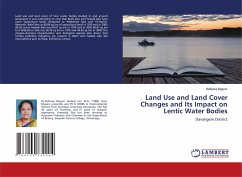
Land use and land cover change has immense impact on the ecosystem and global environment. Geospatial technologies are very important for monitoring these changes. This study aims to find out the land use land cover dynamics, drivers for the change and climate change indicators in Ambung VDC of Tehrathum District. Landsat images of the year 1990 and 2013 were used for quantifying the changes. Household survey, key informant interview, focus group discussion, training samples collection and direct field observations were carried out to gather socio-economic and bio- physical data. Climatic data...
Land use and land cover change has immense impact on the ecosystem and global environment. Geospatial technologies are very important for monitoring these changes. This study aims to find out the land use land cover dynamics, drivers for the change and climate change indicators in Ambung VDC of Tehrathum District. Landsat images of the year 1990 and 2013 were used for quantifying the changes. Household survey, key informant interview, focus group discussion, training samples collection and direct field observations were carried out to gather socio-economic and bio- physical data. Climatic data (Temperature and Rainfall) were collected from Department of Hydrology and Meteorology. Supervised classification was performed to prepare land cover maps. Change on land use was calculated using softwares like ArcGIS 10 and ERDAS IMAGINE 8.4. Quantitative and qualitative data were analyzed in descriptive manner and presented in charts, graphs, maps and texts.


