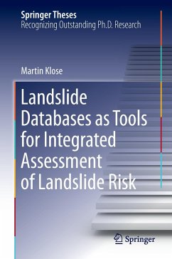
This doctoral thesis presents a novel approach to landslide risk assessment that explores the various dimensions of landslide risk in an integrated perspective. The research approach introduced here is tailored for use with landslide databases and Geographic Information Systems (GIS). A landslide susceptibility model is at the heart of this new approach, enabling to identify and delineate areas at risk of landslides and to assess infrastructure exposure. Landslide risk is a pressing societal issue that is still poorly understood. Temporal landslide hazard is derived from landslide frequency statistics and a hydrological simulation approach to estimate triggering thresholds. These methods are integrated into a powerful toolset for cost modeling that uses historical data to compile, model, and extrapolate damage costs on different spatial scales over time. The combination of this toolset with techniques to analyze fiscal cost impacts supports integrated risk assessment by quantifying theeconomic relevance of landslide losses.
Bitte wählen Sie Ihr Anliegen aus.
Rechnungen
Retourenschein anfordern
Bestellstatus
Storno

