Nicht lieferbar
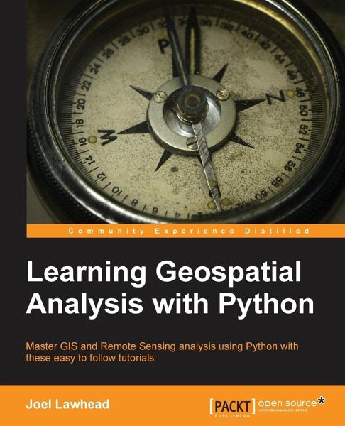
Learning Geospatial Analysis with Python - Lawhead, Joel
Schade – dieser Artikel ist leider ausverkauft. Sobald wir wissen, ob und wann der Artikel wieder verfügbar ist, informieren wir Sie an dieser Stelle.
Produktdetails
  • Verlag: Packt Publishing
  • Seitenzahl: 364
  • Erscheinungstermin: 25. Oktober 2013
  • Englisch
  • Abmessung: 235mm x 191mm x 20mm
  • Gewicht: 679g
  • ISBN-13: 9781783281138
  • ISBN-10: 1783281138
  • Artikelnr.: 39904296
Autorenporträt
Joel Lawhead is a PMI-certified Project Management Professional, a certified GIS Professional, and the Chief Information Officer of NVision Solutions Inc., an award-winning firm specializing in geospatial technology integration and sensor engineering for NASA, FEMA, NOAA, the US Navy, and many other commercial and non-profit organizations. Joel began using Python in 1997 and started combining it with geospatial software development in 2000. He has authored multiple editions of Learning Geospatial Analysis with Python and QGIS Python Programming Cookbook, both from Packt. He is also the developer of the open source Python Shapefile Library (PyShp) and maintains a geospatial technical blog, GeospatialPython, and Twitter feed, @SpatialPython.