Leppard Glacier
Glacier, British Antarctic Survey, Crane Glacier
Herausgegeben: Cristóbal, Barnabas
Versandkostenfrei!
Versandfertig in 6-10 Tagen
19,99 €
inkl. MwSt.

PAYBACK Punkte
10 °P sammeln!
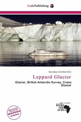
Please note that the content of this book primarily consists of articles available from Wikipedia or other free sources online. Leppard Glacier (65°58 S 62°30 W / 65.967°S 62.5°W / -65.967; -62.5Coordinates: 65°58 S 62°30 W / 65.967°S 62.5°W / -65.967; -62.5) is a large valley glacier draining east into Scar Inlet, to the north of Ishmael Peak, on the east coast of Graham Land, Antarctica. First seen from the air and photographed in part by Hubert Wilkins on December 20, 1928, the glacier was surveyed by Falkland Islands Dependencies Survey (FIDS) in 1955. It is now clear that, on the ...
Please note that the content of this book primarily consists of articles available from Wikipedia or other free sources online. Leppard Glacier (65°58 S 62°30 W / 65.967°S 62.5°W / -65.967; -62.5Coordinates: 65°58 S 62°30 W / 65.967°S 62.5°W / -65.967; -62.5) is a large valley glacier draining east into Scar Inlet, to the north of Ishmael Peak, on the east coast of Graham Land, Antarctica. First seen from the air and photographed in part by Hubert Wilkins on December 20, 1928, the glacier was surveyed by Falkland Islands Dependencies Survey (FIDS) in 1955. It is now clear that, on the photographic evidence of his outward flight, Wilkins gave the name "Crane Channel" to this glacier, and that on his return flight he photographed what is now accepted as Crane Glacier, perhaps thinking that it was the same feature.


