Magnetic and Radiometric Signatures of Rocks and Soils
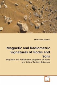
Magnetic and Radiometric properties of Rocks ans Soils of Eastern Botswana
Versandkostenfrei!
Versandfertig in 6-10 Tagen
45,99 €
inkl. MwSt.

PAYBACK Punkte
23 °P sammeln!
The main objective of this research is to determine the magnetic properties and radiometric signatures of rocks and soils in eastern Botswana, east of longitude 25.5oE and south of latitude 22oS. Magnetic susceptibilities were measured using a Bartington instrument and thermomagnetic curves were generated for selected samples. Selected anomalies from magnetic data were modelled to determine source, dimensions and configurations with measured magnetic susceptibility from soil and rock samples as constraints. The models reveal shallow magnetic sources of infinite depth extent with dip angles ran...
The main objective of this research is to determine the magnetic properties and radiometric signatures of rocks and soils in eastern Botswana, east of longitude 25.5oE and south of latitude 22oS. Magnetic susceptibilities were measured using a Bartington instrument and thermomagnetic curves were generated for selected samples. Selected anomalies from magnetic data were modelled to determine source, dimensions and configurations with measured magnetic susceptibility from soil and rock samples as constraints. The models reveal shallow magnetic sources of infinite depth extent with dip angles ranging from 80o to 150o and average half width ranging from 127 m to 1300 m. Radiometric ratio maps (U/Th, U/K, Th/K) were determined from the elemental maps of uranium, thorium and potassium and profiles were extracted from the grid ratios. The ratio patterns and the ratio profiles enhanced slight variations in elemental concentrations due to lithological changes or alteration processes associated with mineralization.


