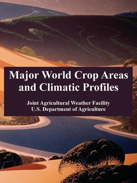
Major World Crop Areas and Climatic Profiles
Versandkostenfrei!
Versandfertig in 1-2 Wochen
30,99 €
inkl. MwSt.

PAYBACK Punkte
15 °P sammeln!
This reference provides a framework for assessing the weather's impact on world crop production by providing benchmark climate and crop data for key producing regions and countries. For each area, maps define the zones of concentration for major crops, and, temperature and precipitation by month at representative locations. Tables report historical averages of crop area, yield, and production. Coverage includes major agricultural regions and crops of coarse grains, winter and spring wheat, rice, major oilseeds, sugar, and cotton. World maps show the normal developmental stage of regional crops...
This reference provides a framework for assessing the weather's impact on world crop production by providing benchmark climate and crop data for key producing regions and countries. For each area, maps define the zones of concentration for major crops, and, temperature and precipitation by month at representative locations. Tables report historical averages of crop area, yield, and production. Coverage includes major agricultural regions and crops of coarse grains, winter and spring wheat, rice, major oilseeds, sugar, and cotton. World maps show the normal developmental stage of regional crops by month.


