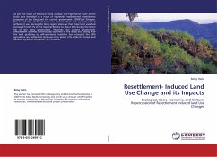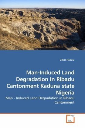
Man-Induced Land Degradation In Ribadu Cantonment Kaduna state Nigeria
Man - Induced Land Degradation in Ribadu Cantonment
Versandkostenfrei!
Versandfertig in 6-10 Tagen
39,99 €
inkl. MwSt.

PAYBACK Punkte
20 °P sammeln!
The problem of land degradation is widespread and inimical to land and water development projects. At the Ribadu Cantonment in Kaduna, land surfaces meant for sustaining and housing of military personnel is beset by excavation problems in view of the negative effects some form of uncoordinated land use practices within and at the cantonment s periphery subjected the land. In view of the aforementioned, this research looked at the role of these land use practices as a key factor to the degradation. Attempt was also made to establish some form of relationship between the land use, land degradati...
The problem of land degradation is widespread and inimical to land and water development projects. At the Ribadu Cantonment in Kaduna, land surfaces meant for sustaining and housing of military personnel is beset by excavation problems in view of the negative effects some form of uncoordinated land use practices within and at the cantonment s periphery subjected the land. In view of the aforementioned, this research looked at the role of these land use practices as a key factor to the degradation. Attempt was also made to establish some form of relationship between the land use, land degradation and the slope morphology in the cantonment. The current land uses, gullies pits and slopes in the study area were identified, measured and analysed. Similarly, the actual causes and consequent effects of the gullies/pits on the structures and the inhabitants were established. Possible solutions were also recommended.


