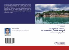
Mangrove Forest, Sundarbans, West Bengal
A Remote Sensing Application
Versandkostenfrei!
Versandfertig in 6-10 Tagen
27,99 €
inkl. MwSt.

PAYBACK Punkte
14 °P sammeln!
The study was carried out to understand the vegetation health especially like mangroves and its degradation due to coastal erosion and others various natural hazards. The Erosion is carried out mainly because off clay mining, wave activities, and the impact of river and tidal currents of Gosaba River and Matla River. Here land use and land cover map also prepared using unsupervised classification technique and maximum likelihood algorithm. The mangrove change detection shows the degradation of mangrove for this study area. This study area needs immediate attention to protect the land degradati...
The study was carried out to understand the vegetation health especially like mangroves and its degradation due to coastal erosion and others various natural hazards. The Erosion is carried out mainly because off clay mining, wave activities, and the impact of river and tidal currents of Gosaba River and Matla River. Here land use and land cover map also prepared using unsupervised classification technique and maximum likelihood algorithm. The mangrove change detection shows the degradation of mangrove for this study area. This study area needs immediate attention to protect the land degradation, shoreline changes and present ecosystem disturbances due to both natural and anthropogenic activities.


