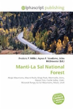
Please note that the content of this book primarily consists of articles available from Wikipedia or other free sources online. The Manti-La Sal National Forest covers 1,270,646 acres (5,142.1 km2) and is located in the central and southeastern parts of the U.S. state of Utah and the extreme western part of Colorado. The forest is divided into three districts: the La Sal District at Moab in the La Sal Range near Moab, in the La Sal District at Monticello in the Abajo Mountains west of Monticello, and the Manti Division on the Wasatch Plateau west of Price. The maximum elevation is Mount Peale in the La Sal Mountains, reaching 12,721 feet (3,877 m) above sea level, making it Utah''s second highest mountain, after Kings Peak. The La Sal Mountain loop road leads from Castle Valley to Geyser Pass and back down to Moab. Scenic Oowah Lake can be found within the forest.
Bitte wählen Sie Ihr Anliegen aus.
Rechnungen
Retourenschein anfordern
Bestellstatus
Storno

