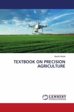
Map Development for Farm Management Practices and Information Systems
Analysis of raster DEM creation for a farm management information system based on GNSS and Total Station coordinates
Versandkostenfrei!
Versandfertig in 6-10 Tagen
27,99 €
inkl. MwSt.

PAYBACK Punkte
14 °P sammeln!
In today's world of precision farming, more machines and agricultural field tractors are greatly relying on the set-up of autonomous platforms for navigation and localization in farmlands and orchards. And with great advancements made in these types of machinery, the need for structured agricultural fields to be better modeled and optimized to provide a continuous surface (x, y, and z) coordinates and datasets to these machines during field missions becomes a necessity. Moreover, with the unreliability of GNSS receivers under tree leaves and the headland turning problems encountered during fie...
In today's world of precision farming, more machines and agricultural field tractors are greatly relying on the set-up of autonomous platforms for navigation and localization in farmlands and orchards. And with great advancements made in these types of machinery, the need for structured agricultural fields to be better modeled and optimized to provide a continuous surface (x, y, and z) coordinates and datasets to these machines during field missions becomes a necessity. Moreover, with the unreliability of GNSS receivers under tree leaves and the headland turning problems encountered during field operations, it becomes more necessary to have a better picture and terrain pattern-analysis of the field area in three-dimension, in order to have an improved defined mission and maneuver for these agricultural field tractors by use of the terrain pattern. However, this problem can be addressed if a contour profile and terrain elevation dataset are designed and modeled for the agricultural field. Hence, the need to ascertain the performances and reliability of the different data sources and techniques used that solve the visibility and topographic problems of agricultural fields.


