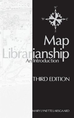
Providing the basics for working with spatial-data collections in libraries, this book describes in detail the processes and procedures of map selection, acquisition, classification, cataloging, everyday storage, care, preservation, reference, public relations, and education. Focus is on practicalities of handling both hard copy and digital forms of atlases, maps, remote-sensing images, globes, and so forth. Larsgaard has thoroughly revised and updated the book, addressing major changes resulting from the shift of spatial data to digital forms, and she has added significant new material to the chapters on selection, cataloging, and reference.
Hinweis: Dieser Artikel kann nur an eine deutsche Lieferadresse ausgeliefert werden.
Hinweis: Dieser Artikel kann nur an eine deutsche Lieferadresse ausgeliefert werden.


