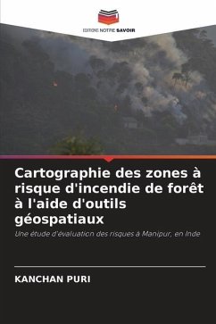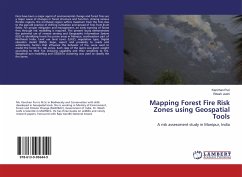
Mapping Forest Fire Risk Zones using Geospatial Tools
A risk assessment study in Manipur, India
Versandkostenfrei!
Versandfertig in 6-10 Tagen
22,99 €
inkl. MwSt.

PAYBACK Punkte
11 °P sammeln!
Fires have been a major agent of environmental change and forest fires are a major cause of changes in forest structure and function. Among various floristic regions, the northeast region suffers maximum from the fires due to the age-old practice of shifting cultivation and spread of fires from jhum fields. For proper mitigation and management, an early warning of forest fires through risk modelling is required. The present study demonstrates the potential use of remote sensing and Geographic Information System (GIS) in identifying forest fire prone areas in Manipur, southeastern part of North...
Fires have been a major agent of environmental change and forest fires are a major cause of changes in forest structure and function. Among various floristic regions, the northeast region suffers maximum from the fires due to the age-old practice of shifting cultivation and spread of fires from jhum fields. For proper mitigation and management, an early warning of forest fires through risk modelling is required. The present study demonstrates the potential use of remote sensing and Geographic Information System (GIS) in identifying forest fire prone areas in Manipur, southeastern part of Northeast India. Land use land cover (LULC), vegetation type, Digital elevation model (DEM), slope, aspect and proximity to roads and settlements; factors that influence the behavior of fire, were used to model the forest fire risk zones. Each class of the layers was given weight according to their fire inducing capability and their sensitivity to fire. Weighted sum modelling and ISODATA clustering was used to classify the fire zones.


