15,99 €
inkl. MwSt.

Versandfertig in über 4 Wochen
  • Broschiertes Buch

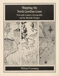
Historical survey that examines the cartography known or available to the English colonists of 1584-1587 as well as that which they produced during their explorations. Includes twenty-eight map plates printed on high quality coated paper, the author's notes, and a useful appendix that lists sixteenth-century names for the southeastern North American coast and correlates them with modern names and landmarks.
Produktbeschreibung
Historical survey that examines the cartography known or available to the English colonists of 1584-1587 as well as that which they produced during their explorations. Includes twenty-eight map plates printed on high quality coated paper, the author's notes, and a useful appendix that lists sixteenth-century names for the southeastern North American coast and correlates them with modern names and landmarks.
Autorenporträt
William P. Cumming was a longtime member of the Department of English at Davidson College.