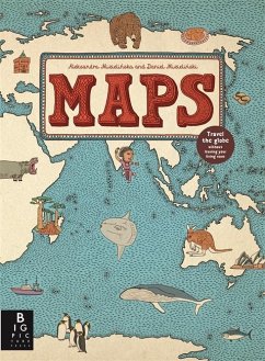
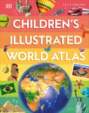
Explore the world with this lavish book of maps. This collection of 52 highly illustrated maps details not only geographical features and political borders, but also places of interest, iconic personalities, native animals and plants, local peoples, cultural events, and many more fascinating facts associated with each region.
This book is a celebration of the world, from its immense mountains to its tiny insects - and everything in between!
This book is a celebration of the world, from its immense mountains to its tiny insects - and everything in between!
The 52 illustrated maps in this book invite the reader on a journey of exploration around the world. Opening with an original style of contents page, consisting of a world map with countries labelled with the pages where information can be found, the atlas is divided into eight sections, looking at countries within each continent plus the Arctic and Antarctica. Not every country in, fro example Africa or South America, is included, but, those that are, give a flavour of the variety to be found there. I like the way that the European section travels southwards from Iceland, which means that countries such as Croatia and Romania are given equal space alongside the perhaps more familiar France and Spain. There is a dearth of information about some of these places (publishers tend to concentrate on what they see as the 'main' countries), particularly for young children. This book would have been very welcome at my school last term when Iceland was included in the Year 1 topic of Around the World!
Each large, intricately detailed double page spread features fascinating facts, places of interest, wildlife and important people, all of which could provide a springboard for discussion and further research. This is an innovative approach to geography which will keep young and not so young, discoverers coming back again and again to pore over the quirky, delightful drawings. A must for the primary library or classroom; every page provides a good display opportunity!
Jayne Gould The School Librarian Journal

