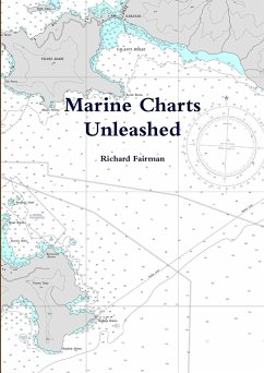
Access to, or create fully calibrated Digital Marine Charts for all areas of the world We gaurantee that wherever you are in the world you can have your own Digital Marine Chart. The Digital Marine Charts you can access, or create for your own use Compatible with computer based chartplotters including SeaClear, OpenCPN, Polar Navy, Coastal Explorer Fugawi Ozie Explorer and many others, Access many thousand of chart images including US Waters, Worldwide, NZ, Brazil etc. Create your own Satellite Image Charts. Create calibrated charts from your own paper charts for your own use Your first Marine Chart will already save you the price of this book The book incudes free Chartplotter Comparison Guide
Hinweis: Dieser Artikel kann nur an eine deutsche Lieferadresse ausgeliefert werden.
Hinweis: Dieser Artikel kann nur an eine deutsche Lieferadresse ausgeliefert werden.

