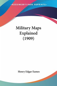
Military Maps Explained (1909) by Henry Edgar Eames is a comprehensive guide to understanding the use and interpretation of military maps. The book is aimed at military personnel and provides a detailed explanation of the various types of maps used in military operations, including topographical, road, and weather maps. The author begins by discussing the importance of maps in military operations and the different types of information that can be obtained from them. He then goes on to explain the various symbols and markings used on military maps, including contour lines, scale, and grid references. The book also covers the use of maps in navigation, including how to use a compass and how to calculate distances and bearings. Eames provides detailed examples and exercises throughout the book to help readers understand and practice the concepts he presents. Overall, Military Maps Explained is a valuable resource for anyone involved in military operations or interested in the use of maps for navigation and planning. The book is written in a clear and concise style and is illustrated with numerous maps and diagrams to aid in understanding.This scarce antiquarian book is a facsimile reprint of the old original and may contain some imperfections such as library marks and notations. Because we believe this work is culturally important, we have made it available as part of our commitment for protecting, preserving, and promoting the world's literature in affordable, high quality, modern editions, that are true to their original work.
Hinweis: Dieser Artikel kann nur an eine deutsche Lieferadresse ausgeliefert werden.
Hinweis: Dieser Artikel kann nur an eine deutsche Lieferadresse ausgeliefert werden.


