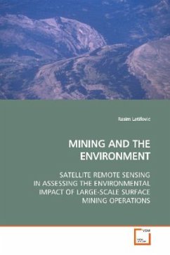
This book examines the capability of advanced remote
sensing as a technique for investigating the
cumulative impacts of large-scale open pit mining
and processing operations. Long-term satellite
measurements at medium (1km) and fine (30m) spatial
resolutions are employed for assessing land cover
and land use change resulting from mining
development. Particular emphasis is placed on
extracting information from remote sensing
measurements needed for an effective assessment
approach. The developed methods were used for
investigating the environmental impact of oil sand
mining located north of Fort McMurray, Alberta, in
the Athabasca Oil Sands region.The book contributs
to the: 1) advance satellite data radiometric and
geometric corrections, 2) methods for extracting
geophysical parameters required for environmental
monitoring and forecasting, and 3) use of remote
sensing in assessing surface mining impacts on
vegetation.
