32,99 €
inkl. MwSt.
Versandkostenfrei*
Versandfertig in 6-10 Tagen
  • Broschiertes Buch

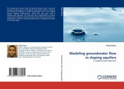
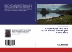
This manuscript is derived from the Author's Masters thesis, it presents coupling the applications of Geographic Information Systems, Analytical and Numerical methods to model groundwater flow in the sloping aquifers; Ogallala Aquifer-Kansas, central USA case study, using a stepping base approach. The study also led to identification of surface water and groundwater interaction points and quantities during the pre-development conditions, and the possible points of disappeared streams in the study region.

Produktbeschreibung
This manuscript is derived from the Author's Masters thesis, it presents coupling the applications of Geographic Information Systems, Analytical and Numerical methods to model groundwater flow in the sloping aquifers; Ogallala Aquifer-Kansas, central USA case study, using a stepping base approach. The study also led to identification of surface water and groundwater interaction points and quantities during the pre-development conditions, and the possible points of disappeared streams in the study region.
Autorenporträt
Philip G. Mzava is a water resources engineer. He has a Bsc. in Civil/Water resources engineering from University of Dar es Salaam, in Tanzania, and a Msc. in Civil/Water resources engineering from Kansas State University, in USA. His main research interests are: modeling groundwater flow, and studying surface water and groundwater interactions.