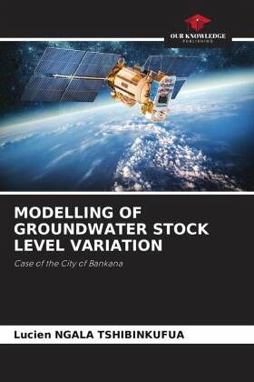
MODELLING OF GROUNDWATER STOCK LEVEL VARIATION
Case of the City of Bankana
Versandkostenfrei!
Versandfertig in 6-10 Tagen
40,99 €
inkl. MwSt.

PAYBACK Punkte
20 °P sammeln!
In this work, it was a question of making a spatial study by remote sensing of the city of Bankana. To apply the laws of physics to deduce the geophysical parameters retained for the realization of this work, and that from the satellite data recorded from 2000 to 2020. Among the geophysical parameters retained, we have: soil temperature, soil albedo, groundwater, land water, evapotranspiration of the vegetation cover and rainfall of the region. These parameters are necessary to model the variation of the groundwater stock level. This modeling is a tool to evaluate the amount of water that infi...
In this work, it was a question of making a spatial study by remote sensing of the city of Bankana. To apply the laws of physics to deduce the geophysical parameters retained for the realization of this work, and that from the satellite data recorded from 2000 to 2020. Among the geophysical parameters retained, we have: soil temperature, soil albedo, groundwater, land water, evapotranspiration of the vegetation cover and rainfall of the region. These parameters are necessary to model the variation of the groundwater stock level. This modeling is a tool to evaluate the amount of water that infiltrates into the subsoil in order to allow its economic use and to make groundwater play better its role as a regulator of surface water and thus allow the examination of the conditions of agriculture and livestock of Bankana. The analysis of these geophysical parameters and their combination, and the links between them, have led us to establish equations capable of determining one parameteronce if the other is known.


