Monitoring Volcanoes in the North Pacific
Observations from Space
Versandkostenfrei!
Versandfertig in 6-10 Tagen
76,99 €
inkl. MwSt.

PAYBACK Punkte
38 °P sammeln!
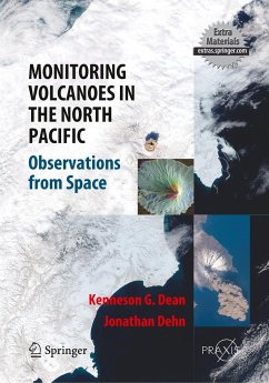
This book provides a unique visual experience, showingsatellite images of volcanic eruptions worldwide anddetailed observations from the North Pacific 'ring of fire'.Daily volcano monitoring and analysis from this region haveresulted in one of the most detailed collections of satelliteimages in the world. An international team of experts hasprovided comprehensive coverage of the state-of-the-arttechniques for real-time volcano monitoring and analysisusing space-borne data, as well as satellite data acquisitionand analysis, ash-dispersion models, wind field data, casestudies, hazard mitigation,...
This book provides a unique visual experience, showing
satellite images of volcanic eruptions worldwide and
detailed observations from the North Pacific 'ring of fire'.
Daily volcano monitoring and analysis from this region have
resulted in one of the most detailed collections of satellite
images in the world. An international team of experts has
provided comprehensive coverage of the state-of-the-art
techniques for real-time volcano monitoring and analysis
using space-borne data, as well as satellite data acquisition
and analysis, ash-dispersion models, wind field data, case
studies, hazard mitigation, transmitting warnings and
discussion of global impacts of eruptions.


