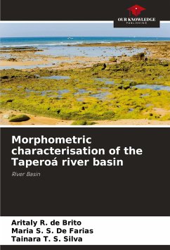
In order to efficiently manage natural resources in a river basin, it is necessary to acquire data that will contribute to economically viable environmental planning. The aim of this research was to characterise the Taperoá River basin morphometrically, using geoprocessing resources as a tool. The software used to handle the data was QGIS summer 2.18.19. By processing the SRTM data, the base MDE was obtained for drawing up the thematic maps needed to determine the morphometric characteristics. To minimise negative impacts on the basin, soil management and conservation techniques should be adopted in the area, as well as restoring the riparian forest. The use of QGIS proved to be viable in characterising the basin.
Bitte wählen Sie Ihr Anliegen aus.
Rechnungen
Retourenschein anfordern
Bestellstatus
Storno

