22,99 €
inkl. MwSt.

Versandfertig in über 4 Wochen
payback
11 °P sammeln
  • Broschiertes Buch

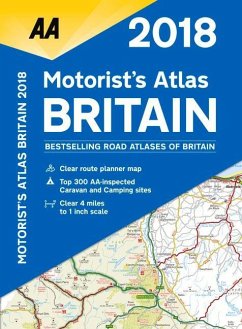
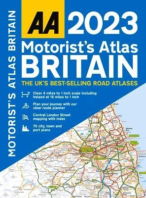
A4 road atlas showcasing Britain's clearest mapping at 4 miles to 1 inch. Features include fully updated mapping and town plans, top 300 AA-inspected caravan and camping sites, district mapping of Birmingham, Glasgow, Manchester, London and Newcastle.

Produktbeschreibung
A4 road atlas showcasing Britain's clearest mapping at 4 miles to 1 inch. Features include fully updated mapping and town plans, top 300 AA-inspected caravan and camping sites, district mapping of Birmingham, Glasgow, Manchester, London and Newcastle.
Hinweis: Dieser Artikel kann nur an eine deutsche Lieferadresse ausgeliefert werden.
Autorenporträt
This A4 format spiral bound road atlas showcases Britain's super-clear 4 miles to 1 inch mapping from the experts at the AA. Wide minor roads (more than & less than 4m wide), National Trust, English & World Heritage, crematorium locations & other hard-to-find places are shown on the mapping. Plus, there are 70 city, town & port plans, and 10 pages of central London street mapping with index. A comprehensive 31,500 entry index with airports, top tourist sites & motorway services Included. Plus, scenic routes, tourist sites & caravan and camping sites symbolized on the mapping