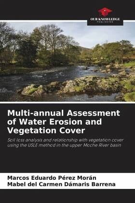
Multi-annual Assessment of Water Erosion and Vegetation Cover
Soil loss analysis and relationship with vegetation cover using the USLE method in the upper Moche River basin
Versandkostenfrei!
Versandfertig in 6-10 Tagen
40,99 €
inkl. MwSt.

PAYBACK Punkte
20 °P sammeln!
This research determined the impact of water erosion on soil and vegetation cover in the upper Moche river basin, La Libertad. The methodology applied consisted of determining the interannual variation (2016 - 2020) of vegetation cover and the soil erosion index using the USLE method. Likewise, critical areas were identified using geoprocessing tools and mathematical models to process information from remote sensors and environmental simulators. It is worth mentioning that the essential inputs for this work consisted of: precipitation models, satellite images, elevation models and soil type re...
This research determined the impact of water erosion on soil and vegetation cover in the upper Moche river basin, La Libertad. The methodology applied consisted of determining the interannual variation (2016 - 2020) of vegetation cover and the soil erosion index using the USLE method. Likewise, critical areas were identified using geoprocessing tools and mathematical models to process information from remote sensors and environmental simulators. It is worth mentioning that the essential inputs for this work consisted of: precipitation models, satellite images, elevation models and soil type records of the study area. The study conducted led to determine that between 2016 and 2020 there was a variation in soil erosion. In this variation it could be evidenced that in 2017, due to extreme weather events, erosion rates of up to 8363.93 T/Ha/year were presented. On the other hand, the lowest values of water erosion, as a result of low rainfall, occurred in December 2020, with a rate of 3857.25 T/Ha/year.


