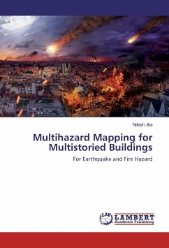
The book is particularly useful for the students of Civil Engineering and studying or making research for hazard mapping on Civil Engineering Structures. Effort has been made to generate multi-layered maps for the hazard of earthquake and fire simultaneously. Almost all the parameters affecting these hazards have been considered directly or indirectly and building specific parameters have also been monitored for analysis of these multistoried buildings. The procedure suggested through this book can pave the way for finding solutions for local authorities. The guidelines and checklist proposed can be a important tool for local authorities and can used for assessment of multistoried buildings before giving approvals and building use permissions. The author has tried to demonstrate the best example for developing the multihazard maps using Geographic Information System (GIS). The use of latest technologies can always provide a compact solution for handling any most complicated problems.
Bitte wählen Sie Ihr Anliegen aus.
Rechnungen
Retourenschein anfordern
Bestellstatus
Storno

