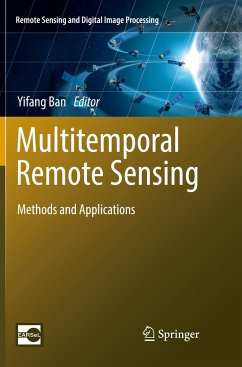
Written by world renowned scientists, this book provides an excellent overview of a wide array of methods and techniques for the processing and analysis of multitemporal remotely sensed images. These methods and techniques include change detection, multitemporal data fusion, coarse-resolution time series processing, and interferometric SAR multitemporal processing, among others. A broad range of multitemporal datasets are used in their methodology demonstrations and application examples, including multispectral, hyperspectral, SAR and passive microwave data.
This book features a varietyof application examples covering both land and aquatic environments. Land applications include urban, agriculture, habitat disturbance, vegetation dynamics, soil moisture, land surface albedo, land surface temperature, glacier and disaster recovery. Aquatic applications include monitoring water quality, water surface areas and water fluctuation in wetland areas, spatial distribution patterns and temporal fluctuation trends of global land surface water, as well as evaluation of water quality in several coastal and marine environments.
This book will help scientists, practitioners, students gain a greater understanding of how multitemporal remote sensing could be effectively used to monitor our changing planetat local, regional, and global scales.

