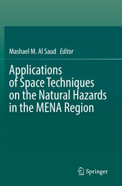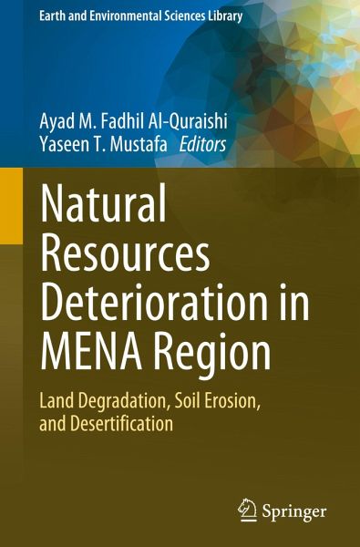
Land deterioration, drought, desertification, and water resources shrinkage threaten natural resources, negatively impacting environmental, economic, and political stability. The increasing occurrence of climate change (extremes) impacts land degradation processes, soil erosion by water and wind, and salinization. The researchers have invested several years of scientific research in natural resources deterioration, including soil degradation and erosion, land degradation, desertification, and climate changes, which are interesting enough. However, the link between science and policymaking…mehr
Land deterioration, drought, desertification, and water resources shrinkage threaten natural resources, negatively impacting environmental, economic, and political stability. The increasing occurrence of climate change (extremes) impacts land degradation processes, soil erosion by water and wind, and salinization. The researchers have invested several years of scientific research in natural resources deterioration, including soil degradation and erosion, land degradation, desertification, and climate changes, which are interesting enough. However, the link between science and policymaking appears to be less active as serious actions do not take fast. The eighteen chapters of this book focus more on topics related to natural resources deterioration, such as land degradation, desertification, drought, climate change, and analysis of numerous case studies.
This book presents experts' overviews, study results, experiences, and knowledge of natural resources deterioration in MENA countries. It attracts researchers, experts, scholars, scientists, academics, students, practitioners, graduates, or anybody interested in land degradation, desertification, climate change, and natural hazards that fall within natural resources deterioration. Therefore, researchers keep continuing to do their investigations and produce results that convince stakeholders and policymaking to act immediately towards protecting natural resources and their sustainability.
Die Herstellerinformationen sind derzeit nicht verfügbar.
Autorenporträt
Ayad M. Fadhil Al-Quraishi is a professor of Applied Remote Sensing & GIS at the Petroleum and Mining Engineering Department, Faculty of Engineering, Tishk International University (TIU), Erbil, Iraq. He obtained his Ph.D. Eng. in 2004 in Geodetection and IT from the China University of Geosciences (CUG), Wuhan, China. He supervised and examined 60 postgraduate students (Ph.D. & M.Sc.) in Iraqi and International Universities during his 44 years of university teaching. Prof. Al-Quraishi published over 80 research papers in national/international journals and conferences, edited four volumes for Springer, and contributed 14 chapters. He served as a peer reviewer in 62 international journals, and numerous journals awarded him the title of the best peer reviewer. In addition, his study on drought in Iraqi Kurdistan was chosen as one of the best-published papers on the 2012 World Day to Combat Desertification and Drought. Prof. Al-Quraishi was a Fulbright Visiting Scholar at Michigan State University (MSU), USA, in 2011 and a Visiting Professor at the University of Alabama, the United States, in 2022. Furthermore, at 42 international conferences, workshops, and symposiums, he served as a scientific committee member, keynote speaker, reviewer, and participant. In addition, he participated in international scientific projects with international universities in the USA and Europe. In addition, Prof. Al-Quraishi is a member of several international professional scientific organizations. Moreover, he worked as a guest editor for two MDPI journals, Remote Sensing and Water, as well as the Journal of Applied Remote Sensing, SPIE. Prof. Al-Quraishi also serves on the editorial boards of several major scientific journals. Since 2016, he has served as the IEEE Geoscience and Remote Sensing Society's (IEEE-GRSS) ambassador in Iraq. Yaseen Taha Mustafa is a distinguished professor of Applied Remote Sensing and GIS at the College of Science, University of Zakho, Kurdistan Region of Iraq. Earning his Ph.D. in Applied Statistics of Remote Sensing from the University of Twente, Netherlands, in 2012, Prof. Mustafa has contributed significantly to the field with over 64 publications, including journal articles, conference presentations, and book chapters. His work primarily focuses on spatial statistical analyses and the application of spatiotemporal data in remote sensing and GIS, with special attention to monitoring data, image analysis, and data quality issues. Prof. Mustafa is renowned for his editorial contributions, having edited two volumes for Springer and serving on the editorial boards of several prestigious journals. As the head of the Center for Applied Remote Sensing and GIS, he supervises a dynamic research team, including numerous Ph.D. and M.Sc. students, driving forward innovations in remote sensing and GIS applications. His dedication to fostering academic excellence and his impactful research have established him as a leading figure in his field, both nationally and internationally.
Inhaltsangabe
Part I. Land Deterioration- Geological and Hydrological Status.- Chapter 1. Remote Sensing Techniques for Investigating Natural Resources Deterioration: Application on Agricultural Degradation in Sultanate Oman (Yaseen A. Al-Mulla).- Chapter 2. Spectral Angle Mapper Approach (SAM) for Land Degradation Mapping: A Case Study of the Oued Lahdar Watershed in the Pre-Rif Region (Morocco) (Brahim Benzougagh).- Chapter 3. Remotely sensed data and GIS for long-term monitoring of the Ghout oases degradation in the region of Oued Souf (Northeastern Algerian Sahara) (Nouar Boulghobra).- Chapter 4. Tectonic and Erosion in the Zagros Fold-and-Thrust Belt (ZFTB) (Ahmed K. Obaid).- Chapter 5. Characterization of Post-Uprising Impacts on Landcover and Land Use: Al Waseta Al Wasita-Satish - Area Northeast Libya Case Study (Salah Hamad).- Chapter 6. Construction Industry Role in Natural Resources Depletion and How to Reduce It (Bayan Salim Obaid Al-Numan).- Part II. Soil Erosion.- Chapter 7. Assessing Soil Erosion Vulnerability Using RUSLE Model in the Semi-Arid Haouz Plain, Marrakech, Morocco: Investigating the Combined Effects of Land Cover Dynamics, Socio-Spatial Mutations, and Climate Change (Youssef Bammou).- Chapter 8. GIS-based Erosion Potential Method (EPM) for Soil Degradation Evaluation: A Case Study the Northeast of Morocco (Mohammed El Brahimi).- Chapter 9. Predicting Soil Erosion Using RUSLE model in Duhok Governorate, Kurdistan Region of Iraq (Azade Mehri).- Part III. Drifting Sands, Sand/Dust Storms, and Desertification.- Chapter 10. Spatiotemporal Variability of Aerosol Optical Depth Over the Arabian Peninsula Using MODIS Data (Abdelgadir Abuelgasim).- Chapter 11. The Carrying Loads Composition of Storms Over Iraq (Moutaz A. Al-Dabbas).- Chapter 12. Monitoring Drifting Sand Using Spectral Index and Landsat TM/OLI Datasets in Bahr An-Najaf Area, IRAQ (Ghadeer F. Al-Kasoob).- Chapter 13. Assessment ofthe Growth of Urban Heat Island in a Mediterranean Environment: A Pathway Toward a Sustainable City (Mohammed El Hafyani).- Chapter 14. Environmental Challenges, The Impacts of Climate Change in North Africa Region: A Review (Afeez Alabi Salami).- Chapter 15. Soil Salinization Impacts on Land Degradation and Desertification Phenomenon in An-Najaf Governorate, Iraq (Sa'ad R. Yousif).
Es gelten unsere Allgemeinen Geschäftsbedingungen: www.buecher.de/agb
Impressum
www.buecher.de ist ein Internetauftritt der buecher.de internetstores GmbH
Geschäftsführung: Monica Sawhney | Roland Kölbl | Günter Hilger
Sitz der Gesellschaft: Batheyer Straße 115 - 117, 58099 Hagen
Postanschrift: Bürgermeister-Wegele-Str. 12, 86167 Augsburg
Amtsgericht Hagen HRB 13257
Steuernummer: 321/5800/1497
USt-IdNr: DE450055826