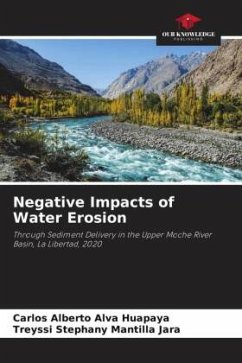
This research determines the negative impacts of water erosion through the contribution of sediments in the upper basin of the Moche River, La Libertad. Its methodological process consisted of locating two zones: green and bare, within an area of influence of 15 km radius around the meteorological station of the Salpo district; subsequently, the necessary parameters of the study zones of the years 2003, 2013 and 2020 were used for the contribution of sediments by means of the Namba Method.sediment input using the Namba Method. As a result, the soil loss in the upper Moche River basin found in the Green Zone in the High Rainfall Season was 7.21, 6.71 and 6.91 t/ha/year respectively; however, in the Low Rainfall Season it was 5.51, 6.71 and 6.91 t/ha/year respectively; however, in the Low Rainfall Season it was 5.51, 6.71 and 6.91 t/ha/year respectively.However, in the Low Rainfall Season it was 5.51, 5.11 and 5.20 t/ha/year respectively. For the Bare Zone in the High Rainfall Season it was 9.03, 8.85 and 8.96 t/ha/year respectively; and for the Low Rainfall Season it was 7.33, 7.25 and 7.25 t/ha/year respectively, having a moderate erosion risk of grade 3, in both zones and rainfall seasons.
Bitte wählen Sie Ihr Anliegen aus.
Rechnungen
Retourenschein anfordern
Bestellstatus
Storno

