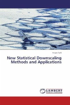
New Statistical Downscaling Methods and Applications
Versandkostenfrei!
Versandfertig in 6-10 Tagen
32,99 €
inkl. MwSt.

PAYBACK Punkte
16 °P sammeln!
The climate impact studies usually require detailed information with high resolutionand accuracy for past, present, and future. The main and important tools of studying climate are the general circulation models (GCMs). Unfortunately, GCMs running on coarse resolution may not able to detect the local scale climate variability. Correspondingly, the limitations concerning spatial resolution and accuracy of simulated data by GCMs arise to need a downscaling strategy. For instance, hydrologists ask for daily total precipitation with spatial resolutions corresponding to their catchments areas of in...
The climate impact studies usually require detailed information with high resolutionand accuracy for past, present, and future. The main and important tools of studying climate are the general circulation models (GCMs). Unfortunately, GCMs running on coarse resolution may not able to detect the local scale climate variability. Correspondingly, the limitations concerning spatial resolution and accuracy of simulated data by GCMs arise to need a downscaling strategy. For instance, hydrologists ask for daily total precipitation with spatial resolutions corresponding to their catchments areas of interest. The ecologists who are studying the dynamics and responses of forests in the mountainous terrain need to know monthly mean precipitation and temperature values with a resolution of a few kilometers. This study is the first one to search and develop downscaling strategies for Turkey.


