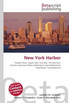
High Quality Content by WIKIPEDIA articles! In the broad sense, the term includes the following bodies of water and their waterfronts: Upper New York Bay, Lower New York Bay, North River (i.e., the lowest part of the Hudson River), East River, Kill Van Kull, Newark Bay, Arthur Kill, The Narrows, Jamaica Bay, Raritan Bay, and Harlem River. This includes about 1,200 square miles (3,100 km2), with over a 1,000 miles (1,600 km) of shoreline. At peak it contained 650 miles (1,046 km) of developed waterfront in 11 individual, active ports in Manhattan, Brooklyn, Queens, the Bronx, Staten Island, Perth Amboy, Elizabeth, Bayonne, Newark, Jersey City, Hoboken, Weehawken and Edgewater. Although the U.S. Board of Geographic Names does not include the term, New York Harbor has important historical, governmental, commercial, and ecological usages.
Bitte wählen Sie Ihr Anliegen aus.
Rechnungen
Retourenschein anfordern
Bestellstatus
Storno

