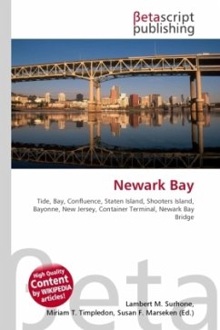
High Quality Content by WIKIPEDIA articles! The western edge of Newark Bay was originally shallow tidal wetlands covering approximately 12 square miles (31 km2). In 1914 the City of Newark began excavating an angled shipping channel in the northeastern quadrant of the wetland which formed the basis of Port Newark. Work on the channel and terminal facilities on its north side accelerated during World War I, when the federal government took control of Port Newark. Shipping operations languished during the interwar years, and in 1927,
Bitte wählen Sie Ihr Anliegen aus.
Rechnungen
Retourenschein anfordern
Bestellstatus
Storno


