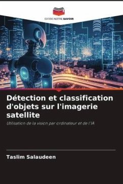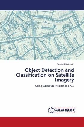
Object Detection and Classification on Satellite Imagery
Using Computer Vision and A.I.
Versandkostenfrei!
Versandfertig in 6-10 Tagen
29,99 €
inkl. MwSt.

PAYBACK Punkte
15 °P sammeln!
Remote sensing and artificial intelligence (AI) are two rapidly developing fields with the potential to revolutionize the way we understand and interact with the world around us. Remote sensing is the science and art of obtaining information about an object or area from a distance, while AI is the ability of a machine to learn and mimic human behavior. The application of AI in remote sensing and GIS is still in its early stages. One of the common applications of artificial intelligence and computer vision is face and eye detection used on social media and security surveillance systems. This is...
Remote sensing and artificial intelligence (AI) are two rapidly developing fields with the potential to revolutionize the way we understand and interact with the world around us. Remote sensing is the science and art of obtaining information about an object or area from a distance, while AI is the ability of a machine to learn and mimic human behavior. The application of AI in remote sensing and GIS is still in its early stages. One of the common applications of artificial intelligence and computer vision is face and eye detection used on social media and security surveillance systems. This is essentially training computer vision to think and identify features on an image just the same way a GIS expert would and learn to classify them, taking into consideration the major elements of image interpretation.This study focuses on one of the image processing tasks that is usually supervised by humans to achieve higher accuracy: feature detection and classification on satellite imageries. The book presents an approach which was used in training an algorithm which will be able to detect and classify features on an image faster than the normal conventional way and also moderately accurate.


