Ocean Surface Topography Mission
Versandkostenfrei!
Versandfertig in 6-10 Tagen
30,99 €
inkl. MwSt.

PAYBACK Punkte
15 °P sammeln!
Please note that the content of this book primarily consists of articles available from Wikipedia or other free sources online. The Ocean Surface Topography Mission (OSTM) on the Jason-2 satellite is an international Earth observation satellite mission that continues the sea surface height measurements begun in 1992 by the joint NASA/CNES TOPEX/Poseidon mission and followed by the NASA/CNES Jason-1 mission launched in 2001. Like its two predecessors, OSTM/Jason-2 uses high-precision ocean altimetry to measure the distance between the satellite and the ocean surface to within a few centimeters....
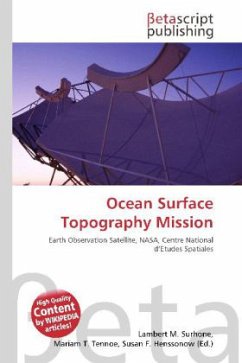
Please note that the content of this book primarily consists of articles available from Wikipedia or other free sources online. The Ocean Surface Topography Mission (OSTM) on the Jason-2 satellite is an international Earth observation satellite mission that continues the sea surface height measurements begun in 1992 by the joint NASA/CNES TOPEX/Poseidon mission and followed by the NASA/CNES Jason-1 mission launched in 2001. Like its two predecessors, OSTM/Jason-2 uses high-precision ocean altimetry to measure the distance between the satellite and the ocean surface to within a few centimeters. These very accurate observations of variations in sea surface height also known as ocean topography provide information about global sea level, the speed and direction of ocean currents, and heat stored in the ocean.


