163,99 €
inkl. MwSt.
Versandkostenfrei*
Versandfertig in über 4 Wochen
  • Gebundenes Buch

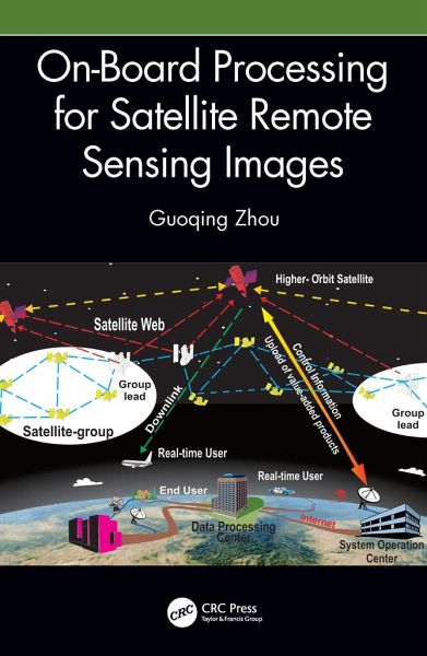
This book explains methods, mathematical models, and key technologies used for on-board processing for remotely sensed satellite images, a technology that maximizes image data transmission efficiency. Intended for students, researchers, and professionals in government and industry interested in the remote sensing of cities and disaster monitoring.

Produktbeschreibung
This book explains methods, mathematical models, and key technologies used for on-board processing for remotely sensed satellite images, a technology that maximizes image data transmission efficiency. Intended for students, researchers, and professionals in government and industry interested in the remote sensing of cities and disaster monitoring.
Hinweis: Dieser Artikel kann nur an eine deutsche Lieferadresse ausgeliefert werden.
Autorenporträt
Dr. Guoqing Zhou is a professor at the Guilin University of Technology, Guilin, China. He received his first PhD from Wuhan University, Wuhan, China, in 1994 and his second PhD from Virginia Tech at Blacksburg, Virginia, USA, in 2001. He was a visiting scholar at the Department of Computer Science and Technology, Tsinghua University, Beijing, China, and a postdoctoral researcher at the Institute of Information Science, Beijing Jiaotong University, Beijing, China, from 1994-1996. He continued his research as an Alexander von Humboldt Fellow at the Technical University of Berlin, Berlin, Germany, from 1997-1998 and afterward became a postdoctoral researcher at the Ohio State University, Columbus, OH, USA, from 1998 to 2000. Later he worked at Old Dominion University, Norfolk, VA, USA, as an assistant professor, associate professor, and full professor in 2000, 2005, and 2010, respectively. He has authored 11 books, seven book chapters, and more than 450 peer-refereed publications with more than 230 journal articles.