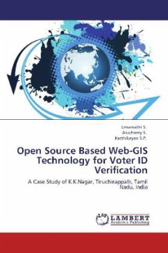
Open source is an approach to design, development, and distribution offering practical accessibility to a product's source (goods and knowledge). A Geographic Information System is a system for management, analysis, and display of geographic knowledge, which is represented using a series of information sets such as maps, geographic data sets, processing and work flow models, data models, and metadata. Electoral GIS is an important information system to find out the voters list with their residential map and their addresses to check the correct address with their location. In present time, open source initiative has gained momentum and projects are being developed using open source products. Hence, an attempt is made to develop a GIS based application tool for Voter ID address verification with their residential maps. With the help of this application, people and officials can verify the address and solve the address mismatches.
Bitte wählen Sie Ihr Anliegen aus.
Rechnungen
Retourenschein anfordern
Bestellstatus
Storno

